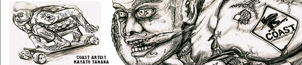


Hillzilla: Vancouver
hairywater posted,
Hillzilla Updated: Vancouver area roads
Hillzilla is a Google Earth overlay that
calculates the slope of paved roads. It is
from satellite & road network data.
Roads are colour coded by max slope(ie green
>5%)
After the window loads, zoom, pan, tilt like
Google Earth.
Zoom in and click on a colored line to get;
i. Road Name
ii. Maximum Slope
iii. Average Slope
Other maps: Kelowna, Toronto, Montreal,
Quebec City....
2010 September 21 4:38 PM
replied,
wow, you put some colour into roads you probably dont even know...good job! STOP IT!